
South Florida Flood Watch: 7 to 10 Inches of Rain Possible
Saturated soils in Broward and Miami-Dade counties face renewed flash flooding risks through Thursday evening.
By Marek Collins ·
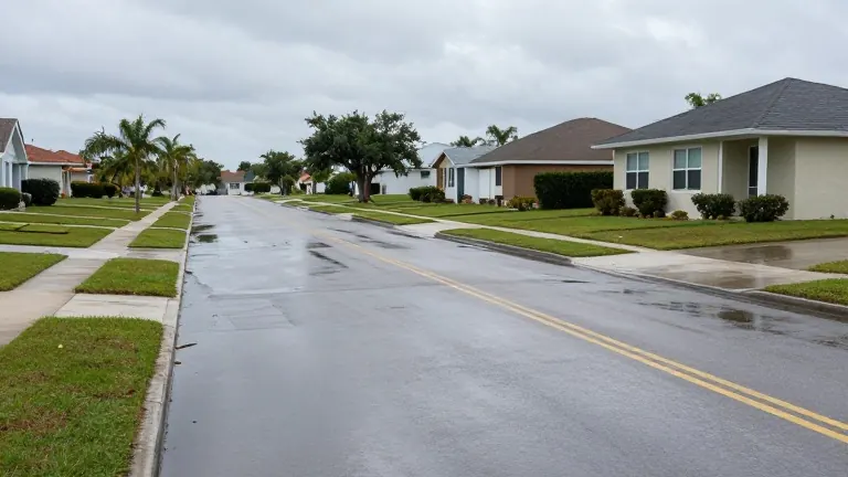
The Weather Prediction Center has designated South Florida as a level 2, or slight risk, area for excessive heavy rainfall and flash flooding. A flood watch remains in effect across the region through Thursday evening. This alert follows a historic round of rainfall that submerged parts of Broward and Miami-Dade counties.
Meteorologists project an additional 2 to 4 inches of rain across South Florida by the end of the day. Where persistent storm bands develop, localized totals could reach 7 to 10 inches. The ground remains fully saturated, leaving minimal capacity to absorb new water. This condition is most critical in eastern Broward and northeastern Miami-Dade counties, where standing water already covers low-lying areas.
Forecasts indicate that showers and thunderstorms will continue into Thursday morning. These events are less widespread than those from the previous day but still capable of producing renewed flash flooding. If thunderstorms repeatedly track over the same neighborhoods, localized flooding could intensify significantly. Rainfall totals will vary widely between adjacent communities.
The gradual transition toward drier conditions is expected to begin heading into the weekend. Scattered storms may still occur on Friday, but rain chances should decrease on Saturday and Sunday. Floodwaters are expected to recede slowly due to the oversaturated soil across the region.
Residents in affected areas should monitor updates as the NEXT Weather Team continues to track the potential for additional heavy rain. The alert remains active until Thursday evening.