Tesla Adopts Map-Based Navigation to Solve Persistent FSD Errors
The automaker is developing an internal mapping system to address speed limit and routing inaccuracies in its Full Self-Driving software.
By Brianna Jackson ·
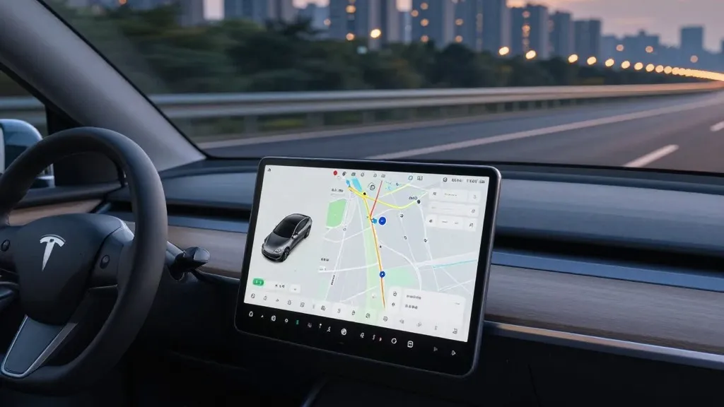
Tesla has confirmed it is developing its own proprietary mapping system to resolve longstanding issues with its Full Self-Driving (FSD) software. The company’s leadership detailed this strategic shift during the Q3 2026 earnings call, acknowledging that the current reliance on external navigation data leads to frequent errors in reading speed limits, selecting routes, and handling parking.
This move marks a significant departure from the company’s previous stance. For years, Tesla’s CEO has argued that self-driving systems dependent on high-definition maps are inherently fragile. By now building a map layer using data from its own fleet, Tesla is adopting a methodology similar to that of competitors like Waymo, which use vehicle fleets to continuously map road environments.
The decision was prompted by direct feedback from investors. During a shareholder Q&A session, a retail investor noted that mapping remains a critical weakness in the FSD system, specifically citing speed limit recognition, parking, and route selection as the most common problems. The investor questioned why Tesla continued to rely on third-party maps rather than creating its own.
Ashok Elluswamy, Tesla’s VP of AI, responded by agreeing that the company should not depend on external providers for this critical data. He explained that Tesla is currently constructing a new AI-based architecture for mapping and navigation. This system will be fed by collective learning from the vehicle fleet, allowing it to adapt to individual driver preferences and respond to voice commands.
The new technology is slated to debut in FSD version 15. It will initially manage the start and end of trips, with plans to expand its role over the coming months to include broader navigation, parking, and destination handling. This phased rollout suggests an incremental improvement to the system’s core capabilities.
Tesla’s relationship with mapping technology has been inconsistent. When Autopilot launched in 2015, the company announced efforts to build high-precision maps with significantly greater granularity than standard navigation tools. However, during a 2019 presentation, Elon Musk declared that relying on such maps was a mistake, describing them as making the system brittle. At that time, he also criticized the use of lidar sensors, a stance that now appears less absolute.
The specific problems Tesla aims to fix with this new map layer are fundamental to environmental understanding. FSD has struggled with basic tasks like reading speed limit signs. Recent testing in Brussels found that the system exceeded speed limits in the majority of 30 km/h zones it traversed, often because the interface displayed an incorrect limit. In the United States, regulators are also examining reports of Tesla vehicles speeding through active school zones.
This approach brings Tesla closer to the operational model of Waymo, which uses lidar-equipped vehicles to map cities before launching service and continues to update those maps as the fleet drives. While Tesla’s new system is not described as a centimeter-level high-definition map today, the process of using a fleet to build and refine a map suggests a similar trajectory. This aligns with how Tesla’s Robotaxi service currently operates within geofenced areas.
The shift underscores a pragmatic evolution in Tesla’s self-driving strategy. After a decade of promoting a vision-only approach, the company is now leveraging its massive fleet of vehicles to create a data-driven map. This move aims to reduce the errors that have plagued the FSD system, potentially improving safety and user experience as the technology expands to more customers and robotaxi fleets.
Source: Electrek