Maryland wet weather breaks two-week dry streak
Showers return to the Baltimore metro Thursday and Friday, bringing relief after 16 days of dry conditions and before a windy weekend.
By Amanda Valdez ·
A two-week stretch of dry weather in Maryland ends Wednesday night. Meteorologists forecast scattered showers will push into the region late Wednesday and linger into Thursday morning. This rain follows 16 days without measurable precipitation across the Baltimore metro area.
Wednesday offers a final window of warm, sunny conditions. Early morning fog is expected to clear by 10 a.m. Temperatures will reach the mid to upper 70s, well above the seasonal norm for early November. Clouds will thicken in the evening, setting the stage for overnight precipitation. Overnight lows will remain mild, hovering in the lower 60s.
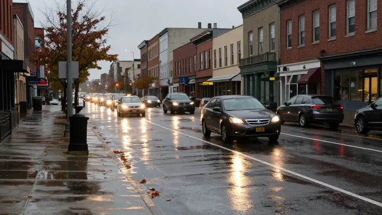
The primary window for wet weather falls between midnight and the Thursday morning commute. Rain intensity is projected to be light, but enough to leave roads and sidewalks slick for drivers. The first wave of showers should exit the area by midday. Thursday afternoon will turn breezy and warm again, with highs near 75 degrees. A spotty second round of showers is possible Thursday evening, though coverage remains sparse.
Thursday evening brings a specific concern for fans at M&T Bank Stadium. The Baltimore Ravens face the Jacksonville Jaguars at 8:15 p.m. An isolated thunderstorm is possible, but odds favor a mostly dry game. Temperatures at kickoff should be mild. A brief shower or storm might affect the event, but it is unlikely to last long. Attending fans might consider bringing a poncho for safety.
Friday morning will start rainy and damp for commuters in the Baltimore metro. The rain should exit the area before 9 a.m. for most inland communities. On the Eastern Shore, the rain will be more widespread and last longer, ending before lunchtime. Most areas are expected to receive less than 0.50 inches of rain, though Eastern Shore communities will see higher totals.
A passing shower is possible Friday evening as a cold front moves through. This final batch of rain will be hit or miss and short-lived. The weekend forecast calls for dry, seasonably mild conditions. Temperatures will hold in the 60s, similar to the previous weekend, but the feel will be cooler due to strong winds.
Winds from the west-northwest will blow at 10 to 20 mph, with gusts up to 30 mph. Residents should layer up with sweatshirts or hoodies. Peak fall foliage is currently visible across central and eastern Maryland. This weekend offers the best chance to see bright colors before leaves drop next week. Gusty winds and sunshine will persist through Monday, with temperatures easing into the mid to upper 60s by Tuesday.
Source: KCNC-TV